Skip to content
The Ranch at Roslyn Ridge
Applicant presentation — October 5, 2026
Menu
Home page
Current view
Site plan
Operations & Development
Mining history
Exhibits
Map sequence · 2 of 12 · Slide 1.5
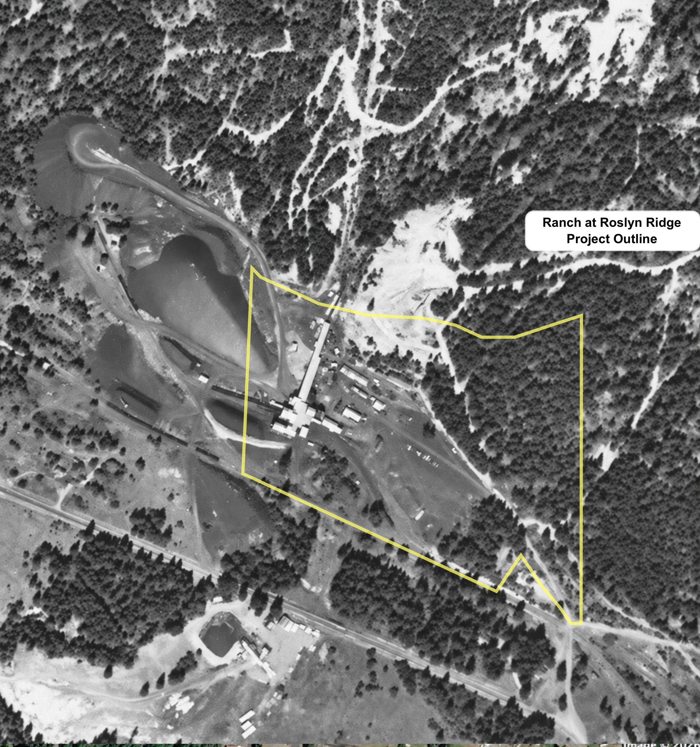
The proposal on the historic aerial
1
1.5
2
2.5
3
4
5
6
7
8
9
10
1.5 Project Outline - Over 1954 Aerial.pdf · Tap map to open a larger image.
 1.5 Project Outline - Over 1954 Aerial.pdf · Tap map to open a larger image.